The specific features of Utrecht (in the Netherlands) challenge its city planners in the development of 'green' urban areas. The municipality recognizes the increasing pressure on the living environment that occurs through a multitude of functions, resulting in air pollution, noise-induced stress, soil sealing, flooding and 'heat islands'. The City wants to implement measures to counteract these effects by focusing on 'green-infrastructure'. These measures should also solve specific issues of the existing 'green-infrastructure', like plague vulnerability for single-species tree lanes and bad air circulation at busy roads covered by trees. Which design principles should be applied and where?
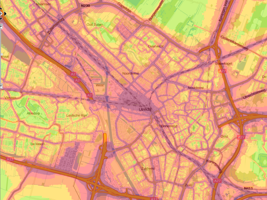
We mapped the most relevant functions of the urban 'green-infrastructure' in the City together with experts from the Municipality of Utrecht. The most important functions of 'green-infrastructure' mentioned were: local climate regulation, noise-reduction, recreation, and cleaner air. In a two-day workshop maps and graphs of the current potential of the green areas for each of the City's districts were created iteratively, as well as scenarios to make Utrecht greener:
- 'Greening' the noisy, impervious areas and adding green roofs;
- Letting current trees grow older to provide more dense crown coverages;
- Creating 'green areas' with a minimum of 20% tree-crown coverage in restructuring areas.
The rules, maps and graphs developed provided a good overview of the 'green-services' present at both district- and total city scale, and help to compare the impact of different ‘greening’ management alternatives. Overall, the maps and assessment of these ecosystem services provide a useful starting point to support Utrecht’s policy to reach a ’healthy urban living’, and its implementation in daily urban practice. According to Utrecht experts, the maps and data will be not only useful for the city planners, but also as a communication tool for citizens.
- Utrecht is a large medieval city in the centre of the Netherlands with approximately 350,000 inhabitants.
- Utrecht is the fastest growing big city in the Netherlands with a huge demand for housing.
- It is also the Netherlands' largest transport hub with an intersection of highways, waterways and railroads.